

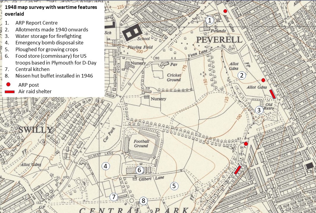
At the outbreak of the Second World War, large areas of the park were given to food growing, both in allotment plots as part of the ‘Dig for Victory’ campaign, and in agricultural-scale crop production.
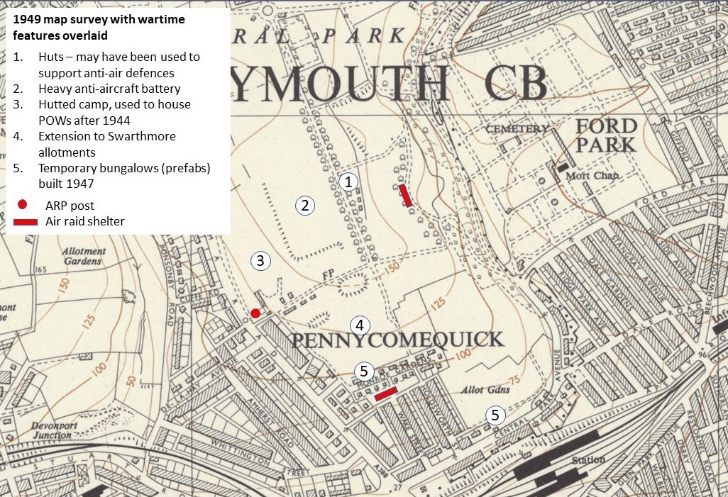
Underground air-raid shelters were constructed for use by households neighbouring the park and an Air Raid Precautions regional headquarters was established in a purpose-built annex to Pounds House. A central kitchen was set up in a large hut near the bowling greens and a gun emplacement installed above the park’s southern slopes.
United States troops started to be billeted in Devon and Cornwall from 1943 and a food store was established next to the Home Park football stadium. A hutted camp was built on Alma Road next to Upper Knollys Terrace and used subsequently to house prisoners captured during the final stages of the war. They were employed on house building programmes after the war, including prefabs in Central Park, until the final repatriation in 1948.
These maps show where the wartime features were located:
- Defensive installations
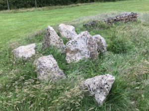 Plymouth had many defences against enemy bombing and the threat of invasion. In Central Park, an anti-aircraft battery was situated where the sports plateau is today on the western side of Discovery Way. It is the feature showing at the centre of this 1947 aerial photograph. The battery was similar in its layout to the… Read more: Defensive installations
- Hutted camp on Alma Road
 A hutted camp was established on the eastern side of Alma Road just to the north of Upper Knollys Terrace. The layout and shapes in this 1947 aerial photograph suggest it may have been built incrementally in response to changing needs. A record in The Box (1646-363) headed “Central Park Camp” confirms that some of… Read more: Hutted camp on Alma Road
- Air Raid Precautions control buildings
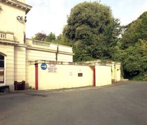 The Town Clerk in 1940, Colin Campbell, had the added responsibility of being the Air Raid Precautions (ARP) controller. When bombed out of the municipal offices facing the Guildhall Square in 1941, he and his staff set up a new office in Pounds House and it became the ARP Control Centre, also known as the… Read more: Air Raid Precautions control buildings
- Air raid shelter in Central Park takes a direct hit
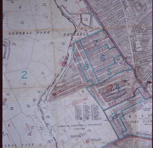 There were at least four public air raid shelters built in the park to protect local residents from the Blitz. They were cut into the ground and covered over with concrete slabs and earth. One very large shelter, able to accommodate more than 1,000 people, remains intact on the park’s southern slopes although it is… Read more: Air raid shelter in Central Park takes a direct hit
- Emergency feeding station
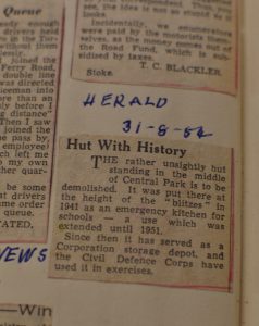 By 1942, the central cooking depots established at Torr House, Crownhill and Laira Schools had become very unsatisfactory, and an increasing number of meals were needed for schoolchildren. In October 1942, the Plymouth Emergency Committee decided to replace them with two new depots, or emergency kitchens, one at Beacon Park Football Ground and one at… Read more: Emergency feeding station
- US Navy food store
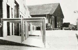 In 1943, the US Navy established a forward operating base in Plymouth to support the ships that would take troops across the English Channel to fight in France. It was known as the United States Naval Advanced Amphibious Base (USNAAB) and its engineering, supply and operations units were spread across several locations. The food store… Read more: US Navy food store
- Prisoner of War Camp
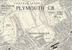 A 2003 English Heritage study records a Prisoner of War camp at Home Park, number 673, although the grid reference is almost certainly incorrect and the study does acknowledge the difficulty in identifying locations. The study report is here: https://historicengland.org.uk/images-books/publications/prisoner-of-war-camps/prisoner-of-war-camps/ A map survey from 1949 shows where huts were located near the north end of… Read more: Prisoner of War Camp
- 1946 Ordnance Survey
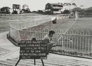 After the Second World War, there was a pressing need for new maps. Ordnance Survey (OS) surveyors used triangulation points in the country and revision points (RPs) in towns as reference datums. These known spots were often on the corners of buildings and other immovable features, which could be fixed to centimetre accuracy. Being able… Read more: 1946 Ordnance Survey
- The Nissen hut cafe
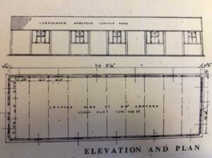
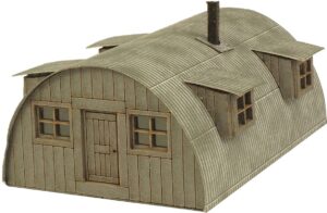 In the photo below of a 1949 cycle race, the curved roof of a Nissen hut can be seen behind the crowds and to the left of the former clock tower. It was brought to Central Park in 1946 for the sale of refreshments. The hut was dull green in colour and measured 24 feet… Read more: The Nissen hut cafe
- The 10¼ inch gauge miniature railway
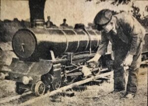 In August 1946, a year after the end of the Second World War, a model enthusiast, George Archibald Dingle who lived at Kelly Bray near Callington, set up a miniature railway in the park and gave rides to the public. The locomotive, coaches and track were owned by him. He had approached Plymouth City Council… Read more: The 10¼ inch gauge miniature railway
- Prefabs
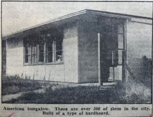 Over 156,000 temporary bungalows or “prefabs” (abbreviated from prefabricated buildings) were manufactured and erected across the UK between 1945 and 1948 to help with meeting the shortage of housing after the war. Their fabrication and distribution was managed centrally by the Ministry of Works, which also owned the buildings, although sites and infrastructure were the… Read more: Prefabs
- Alma Road pavement set into the park
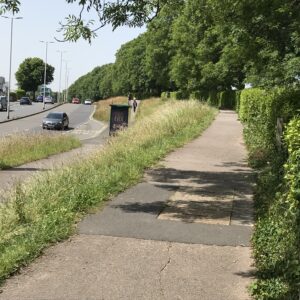 The Western Evening Herald reported on 25th September 1947 that the Alma Road widening scheme had begun. The condition of this highway had been causing considerable criticism and it was decided to take the opportunity to remove the derelict tram-rails and to improve and widen the road to include dual carriageways. A description of the scheme… Read more: Alma Road pavement set into the park